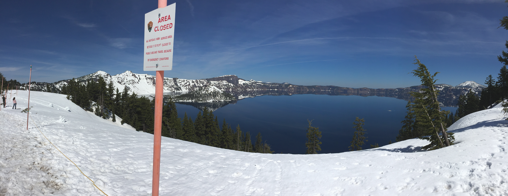
Snowy Crater Lake
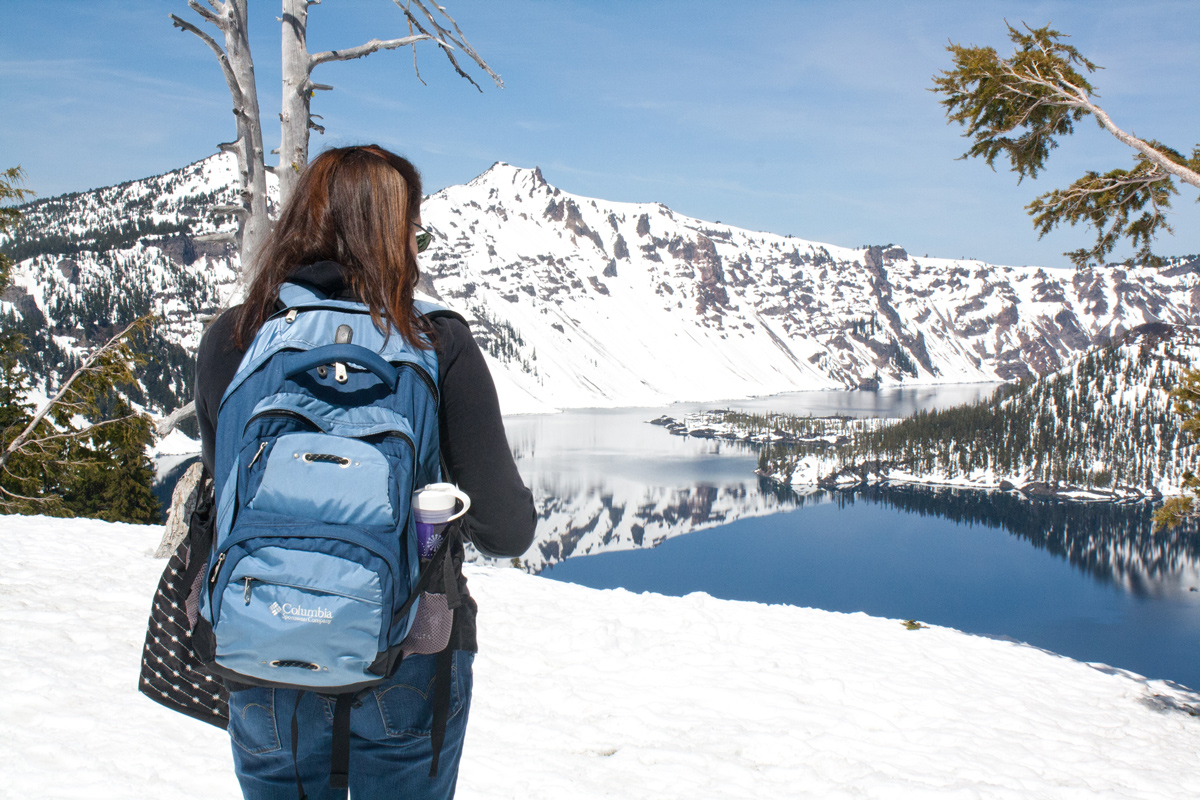
For National Park Week, the 100th anniversary of the US National Park System, my sister and I decided to visit Crater Lake National Park. It turned out to be a warm, beautiful day, very nice for April. For more photos of the park, see my post from last year.
Located in the Cascade Range near the southern end of Oregon, Crater Lake is the result of Mount Mazama volcano blast forming a caldera. The lake is roughly five miles wide and 1,900 feet deep. The highest peak along the rim is 8,150 feet elevation. One could imagine Mazama was once a good sized mountain.
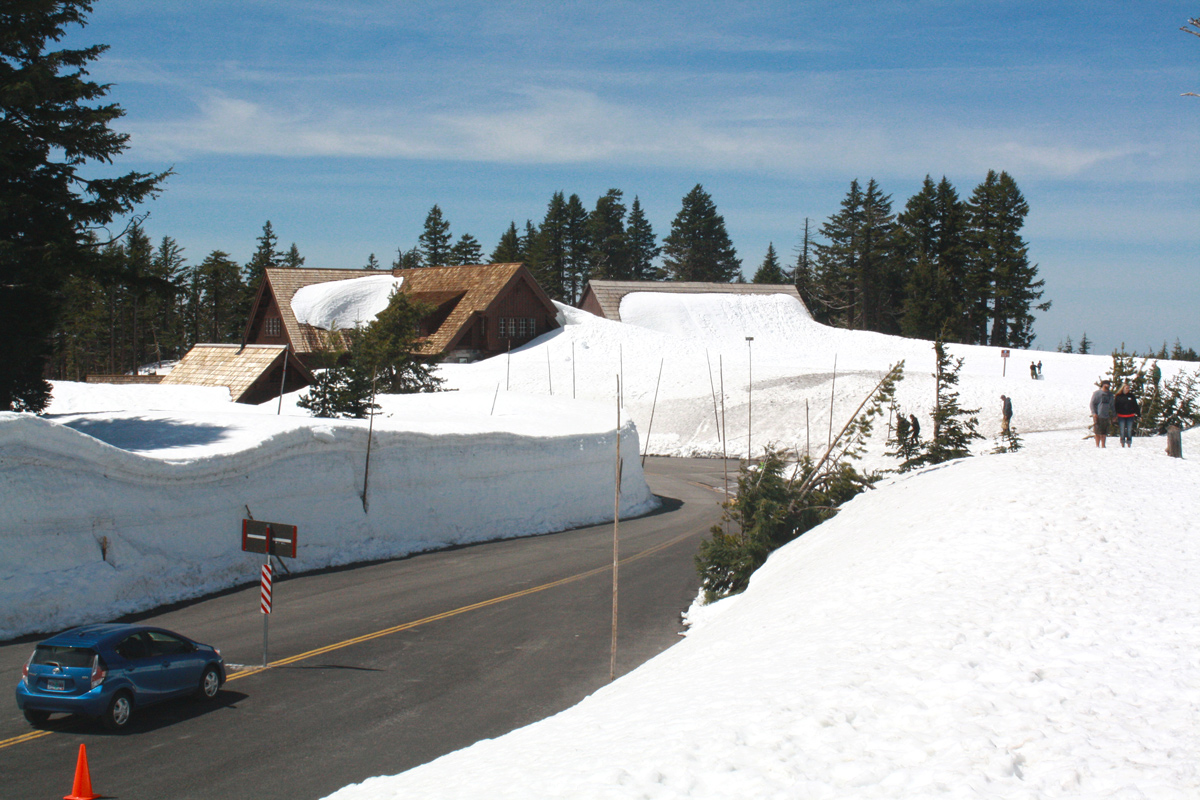
These photos were taken from Rim Village visitor’s area on the south side. Snow piled high at about 14 feet deep, strolling along the rim trail was like walking among (shorter) tree tops. Calm, the water was glass.
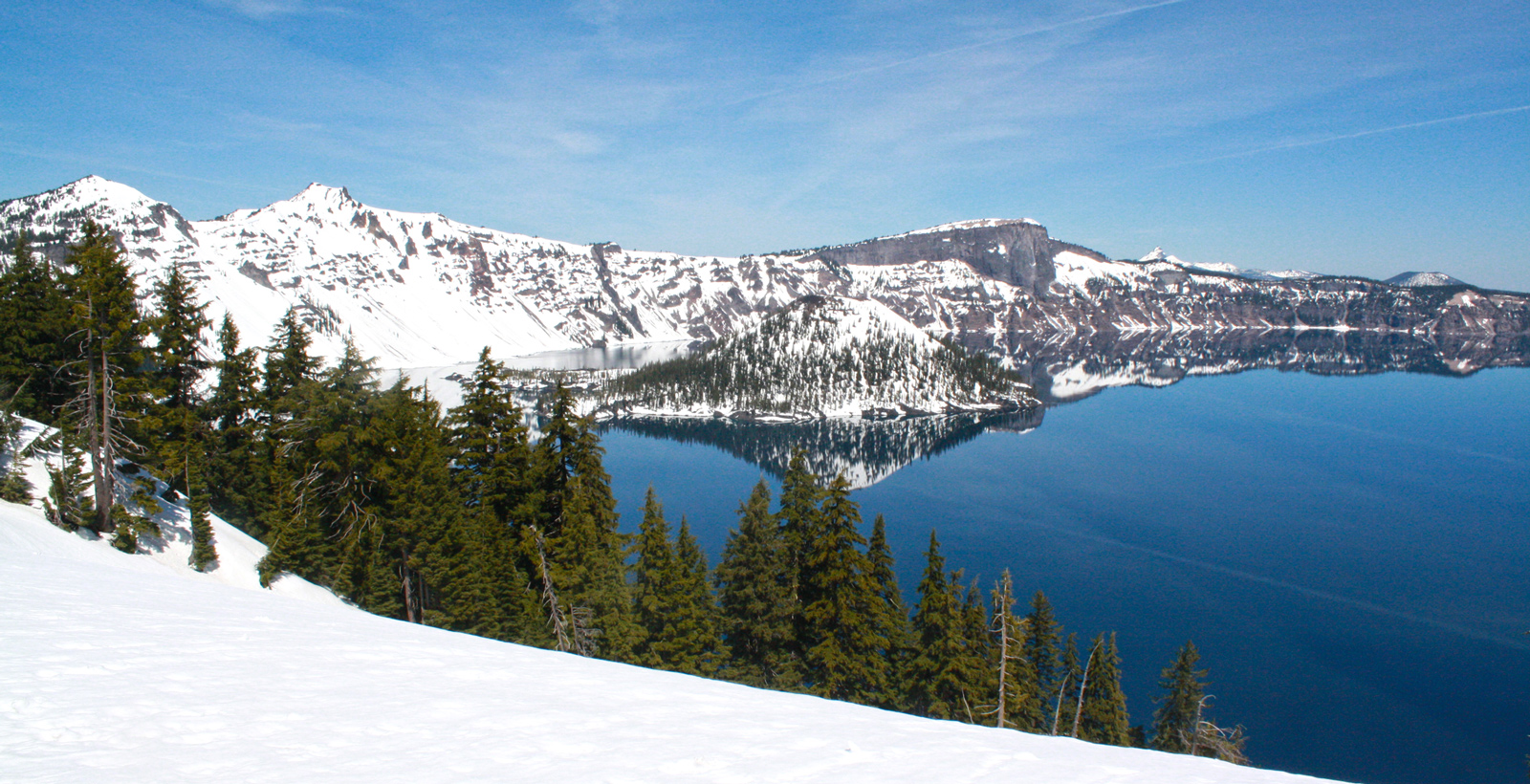
The top image was taken with iPhone 6 using the panorama feature, and the other photographs were taken with a Canon Rebel digital SLR.